Locating Services
Facilities and ROW's Sweeps
New builds or upgrades, we can perform 4-way scans of the work area and provide detailed color field reports on AutoCAD, printed in the field. We can also survey or GPS facility and system maps for you. All reports can be forwarded to you in digital form for you database.
One Call Response
We can requests on your behalf. Using our resources we can react quickly to ensure quality locates. Our crews can also place First Calls for your project and manage the entire ground disturbance program.
Leak Detection/Gas Line Sniffing
We can preform all methane gas leak detection surveys of pipelines. Using a Laser Methane Gas Detector we are able to work faster and safer then traditional flame packs. Our experienced crews can preform line locating, leak detection and GPS mapping in one pass for future reference.
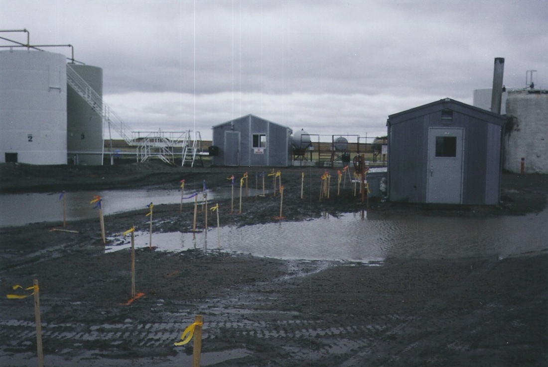
Re-staking, GPS Mapping and Drafting
|
Airforced Daylighting provides many mapping services. Using total stations, levels and other survey equipment we can re-stake lease and access road boundarys from the original survey plot. After locating the work area, we can map out what was found, draft in AutoCAD and print a color copy right in the field. For larger maps we have a 36" color plotter in-house as well as a 11" x 17" color printer for tabloid size drawings.
|
|
Other Services
- Crossing inspections
- Depth of cover surveys along pipelines
- Chaining of dig sites from Smart Pig logs
- Elevation profiles for drainage or groundwater monitoring wells
- Large format printing of air photos/sat images